
Is GPS Geospatial Technology Truly Transforming Our World?
In our today’s world precision and data driven decisions are more important than ever, the term “is GPS geospatial technology” has taken a more relevant turn. As advancement in technology continues, combination of geospatial technology and GPS (Global Positioning System) has changed how we navigate, plan as well as understand our physical environment. In this article we shall address: basic concepts concerning GPS geospatial technology; how it works; application; its advantages and disadvantages; hence looking at future trends.
What is GPS Geospatial Technology?
GPS is an abbreviation for Global Positioning System, which refers to a collection of satellites that offer location details including time to anyone with a GPS receiver within the globe. This particular form of mapping represents the foundation upon which all techniques concerning contemporary navigation and location-based services rest
The geospatial technology denotes a wide variety of tools and techniques utilized to gather, scrutinize, and understand geographic information. It includes Geographic Information Systems (GIS), remote sensing and spatial analysis. When we talk about “is GPS geospatial technology”, we are discussing its use in this more inclusive category. In fact, GPS is an important part of geospatial technology as it delivers accurate location data that is later employed together with other spatial information for detailed exploration of the earth
How GPS Geospatial Technology Works
What Exactly GPS technology is?
PS is based on numerous satellites that encircle the earth. They always dispatch signals which offer their position and times of transmission. These are picked up by GPS receiver systems on the earth’s surface that determine distance from each satellite depending on how long it takes for the signal sent to arrive. This trilateration enables determining accurate locations via using signals from several such satellites.
Satellites’ & Ground Stations’ Role in GPS
GPS technology requires a minimum of twenty-four satellites above our planet. Ground stations monitor and control the operation and orbit precision of these spacecraft to ensure they function properly. The placement of the satellites is such that they are always at least four visible from over the globe at every moment in time. Such stations receive location data from these satellites which is useful for G.P.S receivers.
The use of Geospatial Data Processing in GPS
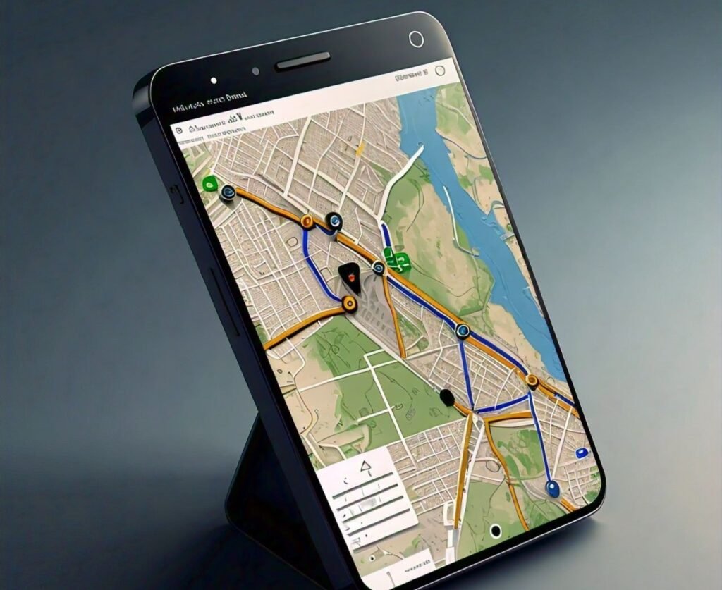
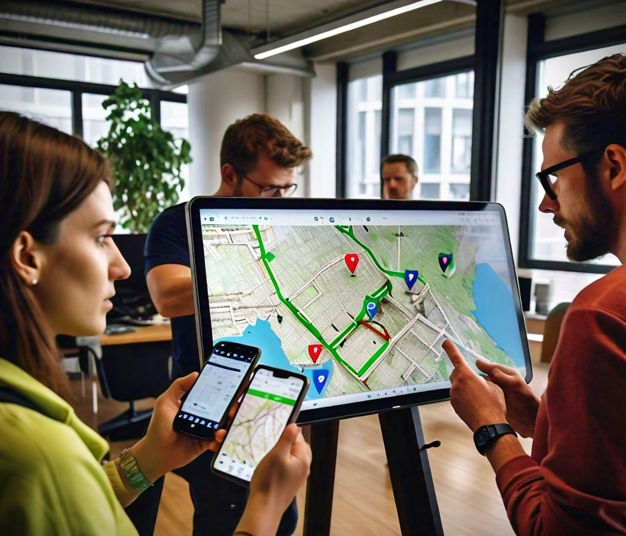
The geospatial data is integrated with the GPS technology to provide better geographical information. The use of GPS data allows for the generation of detailed maps, examination of spatial patterns as well as making informed decisions based on data when it is combined with GIS and other tools. For instance, one can have GPS coordinates superimposed on a digital map so that he or she can see different things or determine their movements over time.
Applications of GPS Geospatial Technology
Navigation and Mapping
This year, 2023, GPS geospatial technology is the fulcrum behind a major transformation in personal and commercial navigation. In vehicles, smartphones and other devices there are GPS systems that give real time directions, alerts on traffic jams and optimizes routes. The efficiency of fleet management in logistics is ensured by using GPS to track the location of vehicles and make better delivery routes for business purposes.
Urban Planning
With respect to urban planning, GPS geospatial technology is important in developing city infrastructure and maintaining it. Spatial patterns study, road network planning, land use optimization is some areas where urban planners use GPS data. Such amalgamation helps create organized and efficient urban areas that enhance appropriate city expansion as well as infrastructure designing.
Emergency Services
The utilisation of GPS technology has become vital in emergency response and management. First responders are able to quickly locate incidents and find their ways to emergency sites with the help of GPS. This helps in improving coordination among the various emergency services thus enabling timely assistance to those in need.
Farming
Is GPS geospatial technology a boon for precision agriculture. Farmers rely on GPS systems to keep track of their crops and livestock with an unprecedented level of accuracy. This technology enables farmers to achieve an optimal allocation of resources such as water and fertilizers, resulting in increased crop production and minimized harm to the environment.
Benefits of GPS Geospatial Technology
Improvements in Efficiency and Accuracy
The ability to provide precise location data is one of the primary benefits of GPS geospatial technology. This feature aids in navigation, mapping, and spatial analysis. Therefore, in sectors such as agriculture and logistics, GPS has been able to improve operational efficiency by streamlining processes and maximizing resource optimization.
Enhancements Relating to Data Collection and Analysis
GPS technology enables accurate collection of geographic data, which analysts can further analyze to extract meaningful insights. For instance, when integrated with GIS, GPS data makes it possible to conduct detailed spatial analyses that will enable businesses or even governments to make well-informed decisions that are based on reliable latest problem-solving information.
Impact on Various Industries
GPS geospatial technology is observed to have a significant impact across different sectors. This system makes routing optimization and fleet management easier in transport. It offers support for agriculture in precision farming. It also facilitates city design improvement and infrastructure development under urban planning standards through GPS systems. Its versatility across a broad range of applications makes such technologies indispensable tools in today’s world.
Challenges and Limitations
Technical Challenges
Nonetheless GPS technology does face some technical problems. Buildings, atmospheric conditions, and satellite malfunctioning can harm the accuracy of GPS by causing interference. Also, satellite reliance means communication disruptions can interfere with location accuracy.
Privacy & Security Issues
Tracking and monitoring location evokes questions about privacy and security. The information collected through GPS systems could be sensitive hence manoeuvring this data without authorization would amount to violation of an individual’s privacy. Maintaining trust in GPS system requires addressing these concerns on privacy and securing the data collected.
Dependence on Technology
Over-reliance on GPS technology can be troublesome especially in instance where signal reception is poor or when there is a technical defect. This is why it is necessary to have alternative patterns to avoid dependence on technology risks in place.
Future Trends in GPS Geospatial Technology
Emerging Technologies and Innovations
Continuous innovation defines the future of GPS geospatial technology. Advanced satellite systems and improved signal processing techniques are expected to greatly enhance GPS accuracy and reliability with emerging technologies. In addition, there will be a deeper understanding of geographic information through advancements in data analytics and visualization.
Integration with Other Technologies
GPS is becoming more integrated with other technologies like artificial intelligence (AI) and Internet of Things (IoT). As a result, this integration supports more intelligent and responsive systems, from smart navigation solutions to automatic data analysis. Experts project that the combination of GPS with AI and IoT will generate significant progress in various areas.
Predictions for the Future
In summary, satellite technology will improve alongside better accuracy of data as well as expanded application capacity leading to development on geospatial technology. Moreover, smart cities in addition to robotic vehicles coupled with precision farming will create a bigger role for it in navigation technology hence influencing future patterns of geographical analysis.
| Aspect | Description |
| Technology | GPS (Global Positioning System) and its role in geospatial tech |
| Accuracy | Level of precision in location data |
| Applications | Key areas where GPS is used (navigation, urban planning, agriculture, etc.) |
| Challenges | Technical issues, privacy concerns, and limitations |
| Future Trends | Innovations and upcoming developments in GPS and geospatial technology |
FAQs
1. What is the main purpose of GPS technology?
The primary aim of GPS is to furnish precise position and temporal details worldwide. It finds extensive application in navigation, mapping and monitoring, among other things including personal navigation, truck fleet management and geographical examination.
2. How accurate is GPS technology?
GPS technology can provide location accuracy within a few meters. Factors such as number of satellites in view, atmospheric conditions and possible signal interference determine this kind of accuracy. Moreover, more sophisticated GPS systems along with augmentation techniques can further increase its primary resolution.
3. What is the difference between GPS and geospatial technology?
GPS represents a satellite-based system that gives spatial and temporal details while geospatial technology incorporates different techniques as well as tools for the analysis, interpretation and collection of geographical information. Therefore, the GPS functions embedded in this larger field provide exact coordinates that align with different spatial information for a comprehensive overall analysis.
4. How is GPS used in urban planning?
For urban planners, GPS technology provides accurate spatial data for designing and managing city infrastructure. Planners analyze patterns, plan road networks together with optimize land usage via utilization of this data leading to well-organized and more efficient urban environments.
5. What are the privacy concerns related to GPS technology?
Privacy issues linked to GPS technology include tracking someone’s movement without permission as well as misusing information from it. GPS data can reveal personal movement and location, risking personal privacy and data security. In this regard, there is need for responsible handling as well as safe keeping of GPS information.
6. How is GPS technology used in farming?
GPS technology aids precision agriculture in agriculture by accurately locating supervision over crops and livestock, enabling high-precision monitoring of farm activities. For instance, farmers can benefit from using GPS for resource optimization namely water and fertilizer applications besides increasing their crop yields while minimizing negative impacts on the environment.
7. What future trends are there for GPS technology?
Forthcoming trends in GPS technology feature advancements of satellite systems, enhanced accuracy and dependability as well as merging it with other technologies such as AI and IoT. Such developments will improve navigation, data analysis among many more after which it will determine how GPS and geospatial technology look like in the coming days.
Conclusion
Consequently, is GPS geospatial technology changing our world and there’s no denying about that. By combining GPS with geospatial data together it gives us precise location information thereby improving different applications while providing several advantages across different sectors. Although this comes with its own challenges like lack of proper technical support or concerns round about personal privacy but the opposite holds true concerning future prospects for GPS tech itself then providing a platform where we can navigate plan or relate with our environment through continued human to technology interactions ultimately making use of this system on scientific responsibility grounds since it plays an integral part in humanity’s survivability.
Read more about technology trends on The Experts Tech.